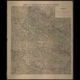
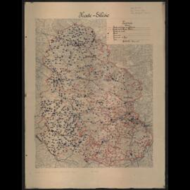
Map no 16. Inset maps of Corsica and Oran, Algeria and Constantine and Seine and Oise.
UntitledMap depicting Counties in which referendums are held and occupied territories around Eupen, Malmedy and Saargebiet. Inset maps of Voting area of North Schleswig and surrounding ares of Malmedy. Cover on reverse side including several articles: "What every German needs to know about the vote", "Schleswig, article 109", "West and East Prussia", "Upper Silesia, article 88", "Eupen-Malmedy, article 34".
UntitledNote on reverse side in Italian: Allegato n°2, Graphical demonstration of the plebiscite result.
British Section, Interallied Administrative and Plebiscite Commission Upper-SilesiaMap depicting electoral zones and boundaries. With annotations on reverse side.
UntitledMap depicting electoral zones and boundaries.
UntitledMap depicting electoral zones and boundaries. With annotations on reverse side.
UntitledMap depicting electoral zones and boundaries.
Untitled